Miami Beach Mullet Run
The southern end of the Atlantic corridor — late-fall pods and predators as the migration's leading edge reaches Miami Beach.
Updated September 26, 2026
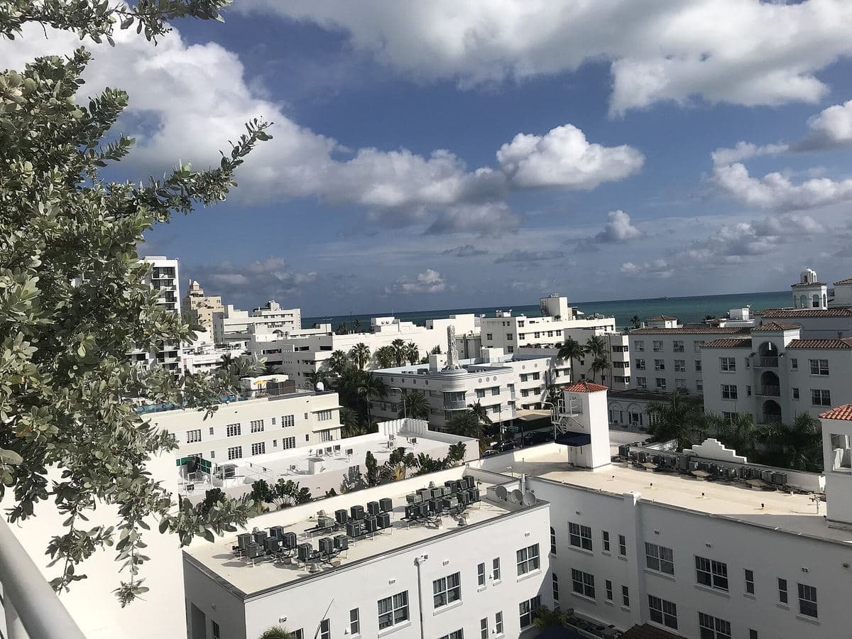
About Miami Beach
Miami Beach is the tail of this site's tracked corridor. Pods that started in Northeast Florida weeks earlier often show here later in fall, keeping the bite alive when northern water has already cooled past the peak.
Government Cut and the open South Beach surf both play roles when bait and predators stage along the coast.
Why fish here during the run
- Latest timing on the north-to-south progression — extends your season.
- High predator density when bait finally arrives.
- Iconic beach access with multiple public entry points.
Angler tips
- Don't write off November — Miami's window can run later than NEFL.
- Fish quieter stretches away from the densest tourist zones when possible.
- Cross-check live scores and crowd sightings before fighting traffic.
Access & conditions notes
- South Beach and Miami Beach public walkovers; Government Cut nearby for boat traffic awareness.
- Tide via Miami Beach Government Cut station.
- Heavy recreational use — prioritize weekday dawns.
Map pin: 25.7907°N, 80.1300°W · Miami Beach; tide via Miami Beach Government Cut
Nearby beaches
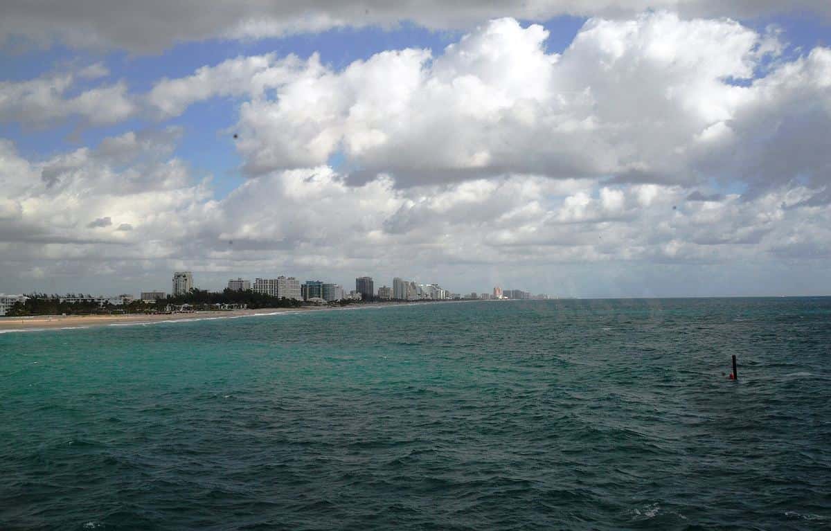
Fort Lauderdale →
Late-season South Florida surf — inlet edges and beach troughs as the migration's tail end loads the Broward coast.
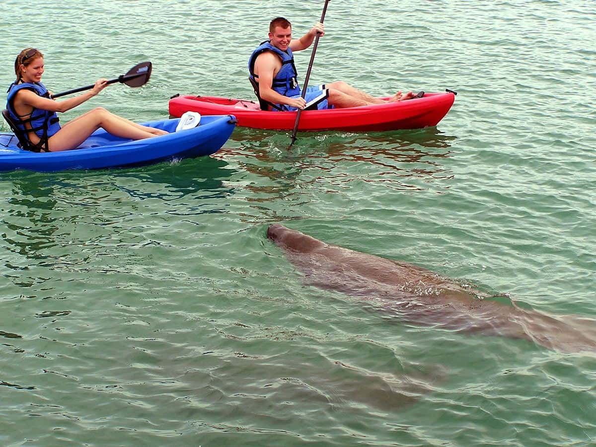
Jupiter Inlet →
Clear water and a well-known tarpon corridor — inlet structure where late-season pods and predators meet in Palm Beach County.
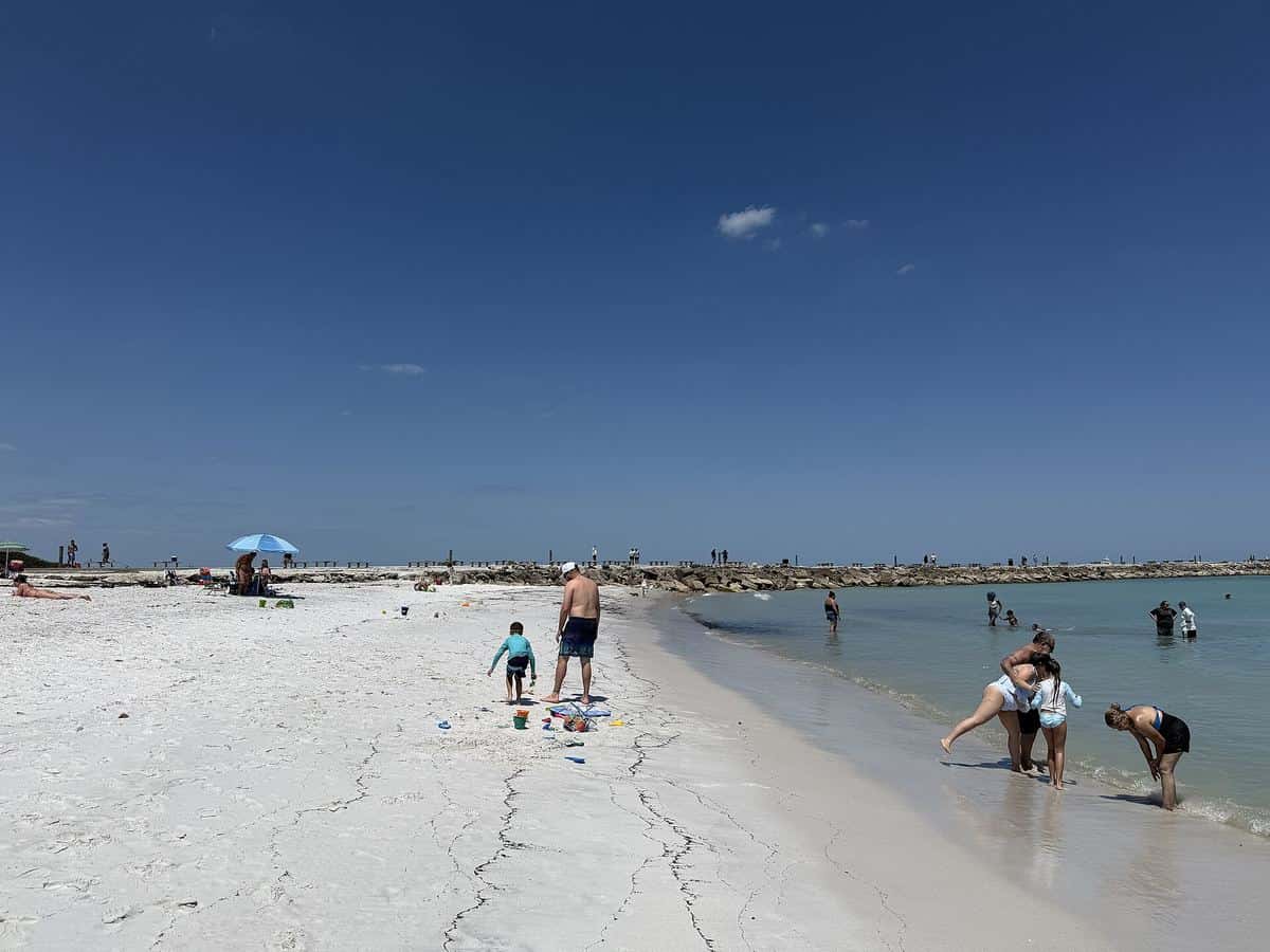
Fort Pierce →
Treasure Coast inlet fishing with strong current and deep cuts — a natural staging area as pods leave the Space Coast and push south.